Mount Nyiragongo
Nyiragongo’s lava lake has filled, drained and returned above Goma — a volcanic landscape whose history reaches far beyond its glowing crater.
MOUNT NYIRAGONGO, DR Congo — A dark crust breaks into orange seams inside a steep-walled crater. White plumes obscure parts of the molten surface, then reveal them again. Nyiragongo’s lava lake is an extraordinary sight, but the mountain’s significance extends down its flanks to Goma, where eruptions have disrupted streets, homes and water supplies.
A changing lake above a living city
The volcano rises within Virunga National Park in North Kivu, near Lake Kivu and the Rwandan border. The Smithsonian’s Global Volcanism Program lists its elevation as 3,470 metres and describes a summit crater about 1.2 kilometres across. Nyiragongo is part of an active rift landscape, with lava chemistry and an eruptive history that make it more than a photogenic cone.
A lava lake is not a fixed reservoir with a permanent shoreline. Its surface can rise, crust over, overflow or drain, and the crater around it can change. The Smithsonian’s June 2024 report describes renewed strong activity during October 2023–May 2024, using satellite observations and information from the Goma observatory. Its eruption catalogue records continuing lava-lake activity into March 2026. Those dated observations explain the mountain’s behaviour without making an archival view a promise of today’s conditions.
When the lava leaves the crater
NASA’s account of the January 2002 eruption describes rapidly moving lava streams reaching Goma and forcing people to flee into Rwanda. The hazard was carried through the surrounding countryside and into the city, far beyond the crater rim.
Another destructive eruption began on 22 May 2021. UNICEF’s account of the aftermath records lava destroying houses, schools and a main water reservoir. Water access remained a serious problem after the immediate evacuation. Relief work included delivering containers and drinking water, restoring supply systems and reuniting children separated from their families.
That aftermath is part of the volcano’s story. A glowing lake can suggest a landscape held at a safe distance; a damaged reservoir or a queue for water shows how quickly its effects reach ordinary routines. Goma’s inhabitants live with consequences that a brief view from the rim cannot convey.
A closed destination
The park’s own tourism notice currently says that Nyiragongo and gorilla treks are closed until further notice. Older descriptions of overnight climbs and crater shelters describe an earlier visitor experience, not an available itinerary.
The UK’s current regional travel advice advises against all travel to North Kivu, including Goma, and describes the security situation as unpredictable. The feature’s archival record therefore offers a way to understand Nyiragongo without presenting a journey there as a practical recommendation. Its beauty, geological activity and human setting belong in the same account.
Sources
- Smithsonian Global Volcanism Program: location, crater and dated activity reports
- NASA Earth Observatory: January 2002 eruption
- UNICEF: the 2021 eruption’s aftermath and response
- Virunga National Park: current trek closure
- FCDO: North Kivu and Goma travel restrictions
Researched feature, not a firsthand report. Access and advisories checked 22 October 2026: Nyiragongo treks remain closed, and FCDO advises against all travel to North Kivu. These archival photographs do not establish present crater conditions; follow current park, security and volcanic-hazard notices.
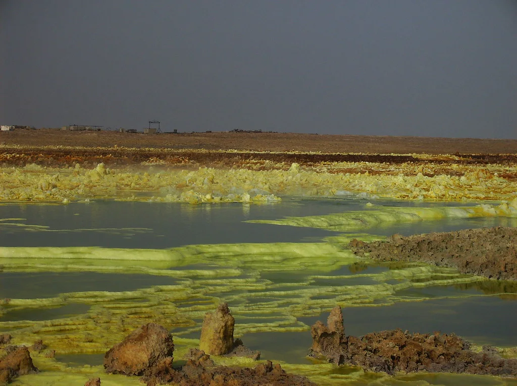
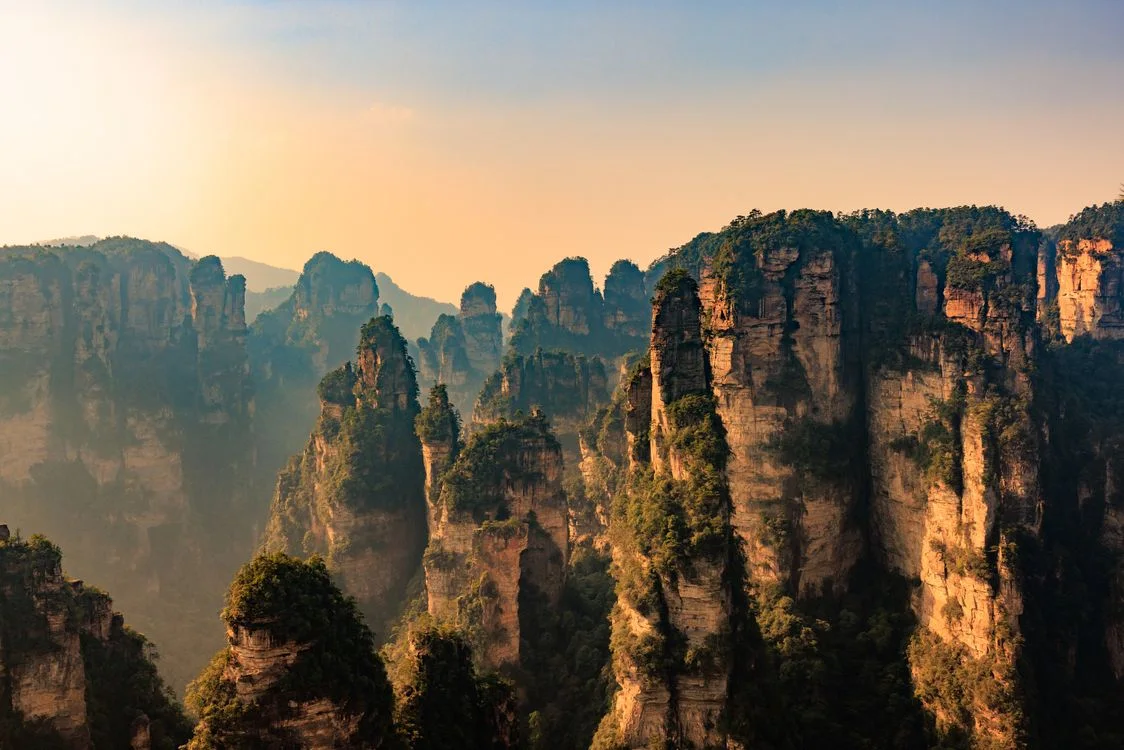
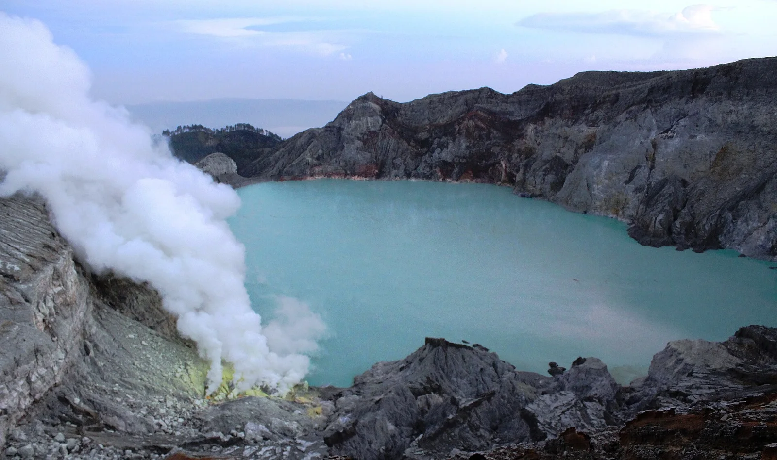
Photographs are archival views and may not show current conditions.
The photographic record